
Find Linton Hall Neighbors Around a Parcel
Public records can describe the block around a Linton Hall address, but each source has a narrow role. County Mapper identifies adjacent parcels and map layers. The assessment card gives the assessed owner and distinguishes the physical parcel from a mailing address. A deed or plat can explain a boundary, subdivision, or recorded transfer. Association information can identify an authorized contact rather than a list of private members. Historical directories may add an older street presence where a volume survives. Start with the question you can document, then use the source built for it.
| Block source | What it shows about a Linton Hall block | Access route |
|---|---|---|
| County Mapper and List Adjoiners | Adjacent GPINs, parcel boundaries, addresses, districts, and active map layers | Free public viewer |
| Assessment parcel card | Assessed owner, mailing and situs distinction, GPIN, value, and sale fields | Public portal, phone, or office |
| Deed and plat index | Recorded parties, easements, lot or road relationship, legal description | Free index, paid images, or clerk fallback |
| HOA/COA contact listing | Voluntarily supplied association or management contact and association geography | County public listing |
| RELIC directories | Historical street or address clues in surviving volumes | Library inquiry and in-library material |
An owner record is not the same as an occupancy record. It may list a different mailing address, a trust, an estate, or an entity. Keep those distinctions intact when comparing nearby parcels.
Use List Adjoiners for Linton Hall Neighbors
The most direct county method for identifying Linton Hall neighbors is the County Mapper control called List Adjoiners. Search the subject parcel by address or GPIN, use Identify, open the Results panel, and choose List Adjoiners. The result is a parcel set that shares a boundary with the subject. It is not a social list and it does not prove that the people associated with nearby records know one another. The county's geometry is a research aid, not a legal survey.
- Find the subject address in the Prince William County Mapper by street number, street name, street type, unit, or GPIN.
- Use Identify on the parcel, then open Results and select List Adjoiners. Save each returned GPIN with the map access date.
- Open each adjoining parcel in the assessment search and record the situs address, legal description, assessed owner, and mailing address as separate fields.
- Use the deed or plat index only when a boundary, transfer, or subdivision question calls for it. For a full named-road trail, use the Linton Hall street directory workflow.
Identify can work from a point, rectangle, or line, and the Results tools can highlight, remove, zoom to, or expand a record. More Info may link to schools, a voting precinct, or polling-place information, but those map-linked details do not convert the viewer into a personal directory.
Define a Linton Hall Neighbor Boundary
The word neighbor can mean several different things in a block search. A shared-boundary parcel, a property within a buffer distance, a lot in the same plat, and a property on the same street segment can all produce different results. Decide which definition answers the question before creating a parcel list. That choice makes the result reproducible when County Mapper updates a layer or a parcel changes hands.
- Adjoiner
- A parcel that shares a boundary with the selected parcel in the map result.
- Buffer
- A user-defined distance around a selected map feature, with a distance and unit set in the viewer.
- GPIN
- The county's ten-digit parcel identifier, formatted xxxx-xx-xxxx, used to connect mapping and assessment records.
- Legal description
- The lot, subdivision, or metes-and-bounds description used in land records when a street address is incomplete or changed.
The county's GIS and GPIN FAQs explain the parcel identifier and map limitations. Use the parcel result to frame the block, then verify any ownership conclusion with the individual assessment or recorded land record.
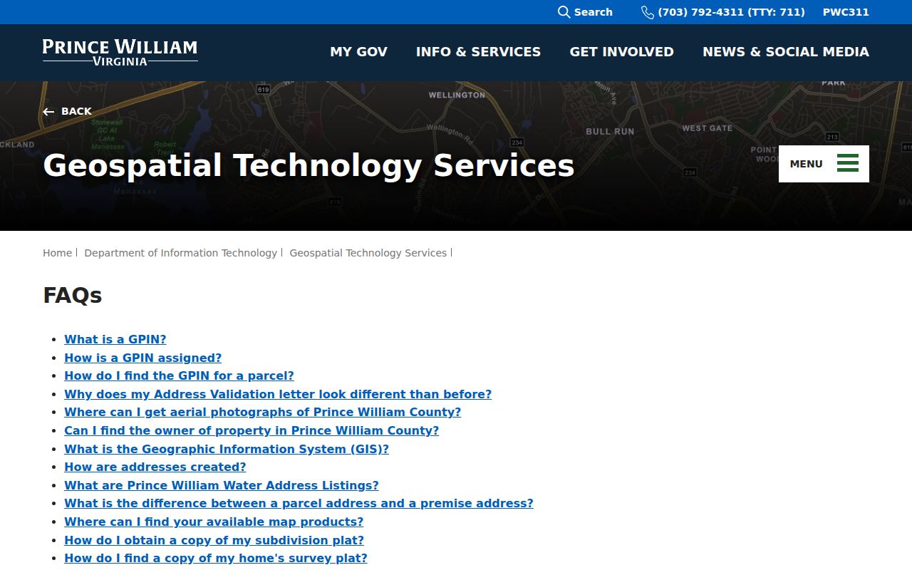
The GIS guidance reinforces a practical boundary: parcel lines and aerial imagery may not align exactly, so a map result should not be used as a survey or boundary ruling.
Find Linton Hall Neighbor Association Contacts
Prince William Neighborhood Services maintains a verified, voluntarily supplied HOA and COA contact listing. It can help identify an association or management contact connected with a subdivision. It does not publish a member directory, and it should not be treated as one. The association layer is useful for a community-governance question, such as where to send a boundary or common-area inquiry, while the parcel and deed systems remain the source for land-record questions.
Neighborhood Services
HOA/COA database and voluntary association contact information.
5 County Complex Court, Suite 280
Prince William County, Virginia
703-792-7018
Monday through Friday, 8:00 a.m. to 4:30 p.m.
The official HOA and COA database is pictured below. Contact information comes from voluntary updates, so confirm it with the association or county before relying on it for a time-sensitive matter.
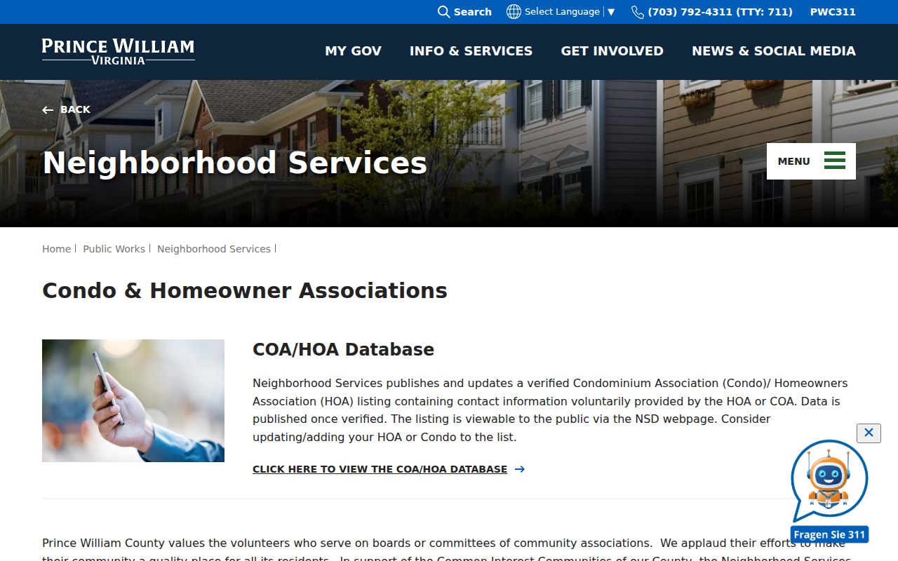
The county describes association authority as separate from county government. Use the contact channel for association matters, not to seek private membership information.
Linton Hall Neighbor Association Map Layers
The GIS Property Owner Associations layer supplies another view of the community layer. It can show association polygons, association type, owner mailing and ZIP fields, management-company fields, and whether a Neighborhood Services listing exists. These fields describe an association record, not a list of people tied to every property inside the polygon. The layer also carries an important warning: association information can become outdated because updates are voluntary.
Insider tip: Save the layer name and the date you viewed it with the parcel notes. That lets you explain later whether a boundary came from the parcel map, a distance buffer, or an association polygon. The county's GIS documents and forms page is a useful source for the street-directory, address, and subdivision materials that help resolve an address change.
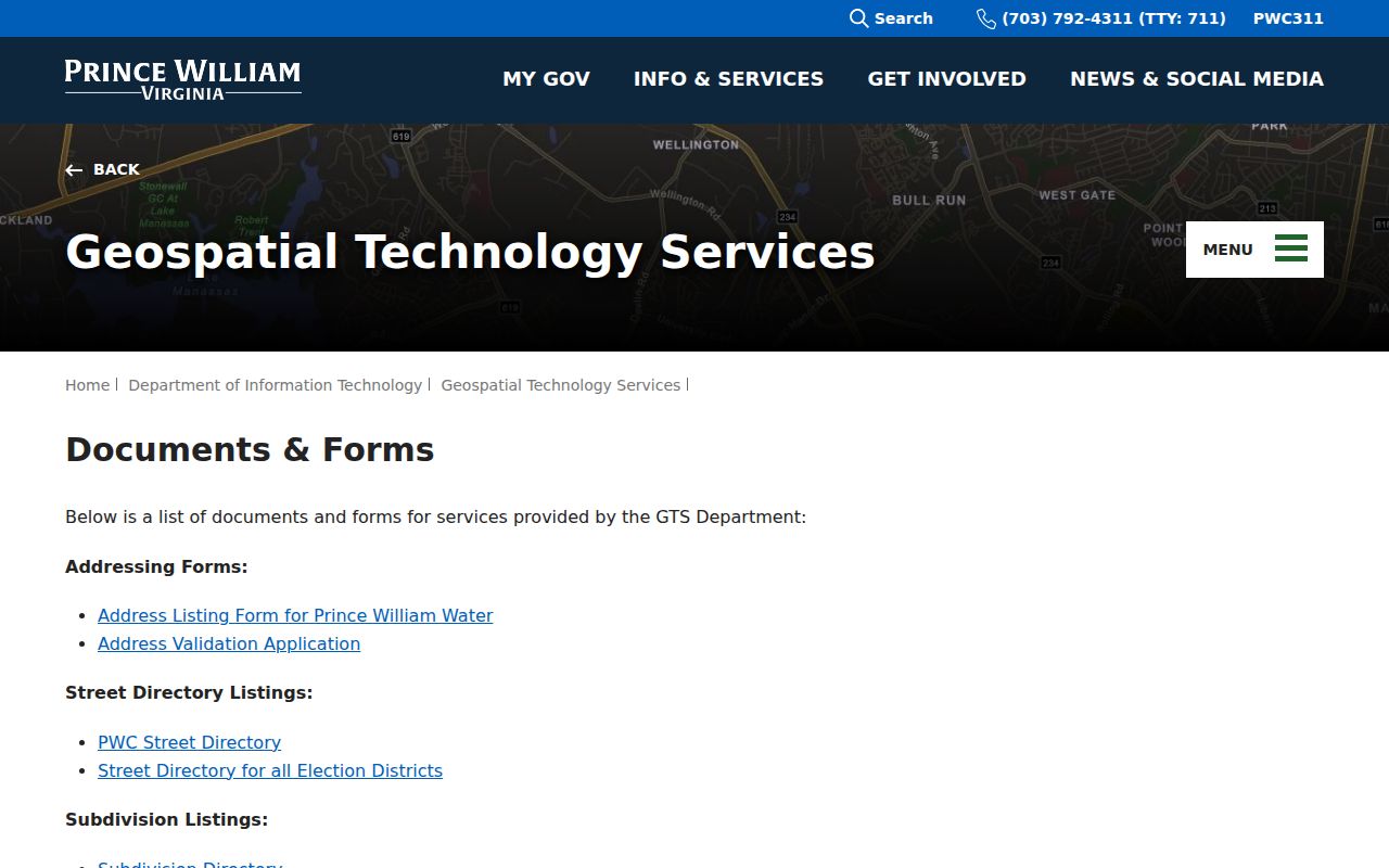
Address and street documents can clarify the official label for a parcel before an association or historical directory search, especially when the postal label differs from the Linton Hall CDP name.
Compare Linton Hall Neighbor Record Tools
Myth: A commercial neighbor tool is not a replacement for a county parcel workflow. Commercial products can combine public and nonpublic data, may charge for access, and can retain old addresses or merge people with similar names. Official records are narrower, but they let you see which custodian holds the data and what a specific field represents. A separate historical directory can add context, but it remains a dated source rather than a present-day claim.
| Record approach | Strongest use | Important limit |
|---|---|---|
| County parcel, assessment, and deed records | Documenting a parcel, assessed owner, or recorded land interest | Does not establish all current occupants |
| County association contact listing | Finding a voluntary association or management contact | Not a member roster; contact fields can age |
| Commercial neighbor-search category | Generating a lead to verify independently | May be incomplete, stale, or based on unclear source dates |
| RELIC historical directory material | Placing a street or address in a dated historical volume | Coverage and geography vary by volume |
For a correction or privacy concern, contact the custodian holding the source record. A broad removal request cannot rewrite a recorded deed, a historical index, or a county parcel record.
Linton Hall Neighbors and Voter-File Limits
Virginia's public Citizen Portal is designed for an individual to check their own registration status with name, date of birth, last four Social Security digits, locality, and certification. It can display that person's registration, polling place, district, absentee status, and voting history. It is not a public web search for a block. Prince William County should be selected as the locality because Linton Hall is an unincorporated CDP, not a city registrar jurisdiction.
Virginia Code sections 24.2-405 through 24.2-407 limit who may receive voter lists, the purposes allowed, and online publication of received lists. Do not build or publish a block roster from voter data. For a polling-place question, use the individual portal or the Office of Elections rather than inferring a person's records from a nearby parcel.
Map a Linton Hall Block by Parcel
A defensible block record follows a compact chain: subject address to County Mapper, County Mapper to adjacent GPINs, each GPIN to its assessment card, and only then a deed or plat when the question requires it. This approach lets one address expand into a documented parcel set without blurring parcels, owners, and people into one unverified label. The mapper's Buffer tool is useful for a distance question, while List Adjoiners is the better control for shared-boundary geography.
More Info may expose map-linked schools, voting precinct, or polling-place material. A plat can answer whether properties share a subdivision or easement. A permit, 311 record, or Virginia FOIA request can pursue an existing service or code record, but no county office has to create a custom report of Linton Hall neighbors. RELIC may assist with a historical reverse-directory question when a volume survives.
Older block material may be filed under Linton Hall Road, Broad Run, Bristow, Gainesville, Manassas, a rural route, or a farm or place name. That is a records-geography issue, not evidence that a parcel was empty. Historic Prince William adds local place material and the 1972 county street map, which can help connect an older road label to the modern parcel chain. Note: Preserve the GPIN, legal description, active map layers, and source date for every parcel selected.
Privacy Boundaries for Linton Hall Neighbors
Public parcel adjacency does not disclose every person connected with a property. Utility and delivery records, DMV addresses, confidential vital relationships, and protected voter information are not a public block search. An assessed owner may use a different mailing address, and that difference is not proof of present occupancy. The Virginia Address Confidentiality Program can protect the actual address of eligible participants, while other protections may apply through statute or court order.
Lawful personal use. Use only the record needed for a property, family-history, safety, or civic question. Do not use address or parcel information to stalk, harass, intimidate, or publish a restricted list.
Virginia's Consumer Data Protection Act gives qualifying consumers certain rights with covered businesses, but it does not erase a recorded land instrument or require a clerk to alter a historical index. Ask the appropriate custodian about a factual correction, redaction, sealing, or confidentiality procedure, and respect any limit on access.