
Linton Hall Previous Residents Sources
A backward address search changes sources as the era changes. Start with the current parcel record, but do not treat an assessed owner as proof that every person at an address lives there. The assessed record supplies the GPIN, legal description, site address, mailing address, sale information, and parcel identity needed to locate the recorded transfer. From there, the best source may be a deed, plat, directory, census schedule, obituary, probate item, historic map, or aerial image.
The table separates what each source can show from what it cannot. It is normal for the address to disappear in an older deed, for a road number to change, or for a directory to use a nearby place name. Preserve the source date, spelling, document reference, and geographic label at each step. That makes a past-residents result reproducible instead of turning several different record types into one unsupported claim.
| Source | Years it covers | Keeper | What it can show |
|---|---|---|---|
| Deed index and images | 1918-present online; older historic material separately held | Circuit Clerk, Historic Access, courthouse, microfilm, HOP | Transfers, parties, legal description, instrument references |
| Plats | Index 1794-present; images 1918-present | Circuit Clerk and GIS | Lots, blocks, easements, road layout, subdivision changes |
| RELIC historic deeds and tax rolls | Deeds 1731-1827; tax and rent 1738-1784 | RELIC Digital Archives | Early land and county context |
| Directory and telephone holdings | City directories 1960-83 and 2001; verified telephone runs from 1903 | RELIC | Dated subscriber or household leads where a volume survives |
| Federal census and local notices | Census 1790-1930, later releases under the 72-year rule; news index since 1993 with some obituaries from 1970 | RELIC, National Archives, licensed databases | Household composition or a relationship trail at a stated date |
| Aerial imagery | 1937 and 2004-23 listed years | County GIS | Road, structure, and landscape change, not occupant identity |
For a later subdivision lot, begin with the assessor card and the newest recorded deed. For a rural tract, move sooner to the legal description, plat, farm or place name, historic aerials, and RELIC’s older material. Directory evidence is most useful for a household question; deed and plat evidence is most useful for the parcel sequence.
Review the Circuit Clerk deed and land-record guidance before beginning a Linton Hall previous residents search.
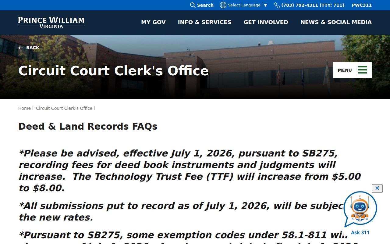
The Clerk’s guidance identifies the official land-record channel behind the document references used in a parcel history.
Linton Hall Deed Index Eras
The Prince William County Circuit Court Clerk’s online land-record index and ordinary images begin in 1918. The Clerk’s online records access page describes the land-record categories, while the account notice explains that Historic Access is the route for purchasing or viewing certain inquiry results. The index is not a full address index in every historical year, so a name, legal description, instrument reference, book and page, or plat reference may be more useful than the street number.
When an older image is not online, use the documented alternatives: Historic Access, courthouse terminals, microfilm, the Records Research and Copies Center, or the Circuit Clerk’s historical research route. The Historic Online Portal, or HOP, adds historic material from the pre-Revolutionary period into the early 1900s, but it is not a complete modern chain. A missing result calls for the next appropriate custodian, not a guess about the property.
See the Historic Access and Eagle Recorder notice for the account and image-access route used with Prince William land records.
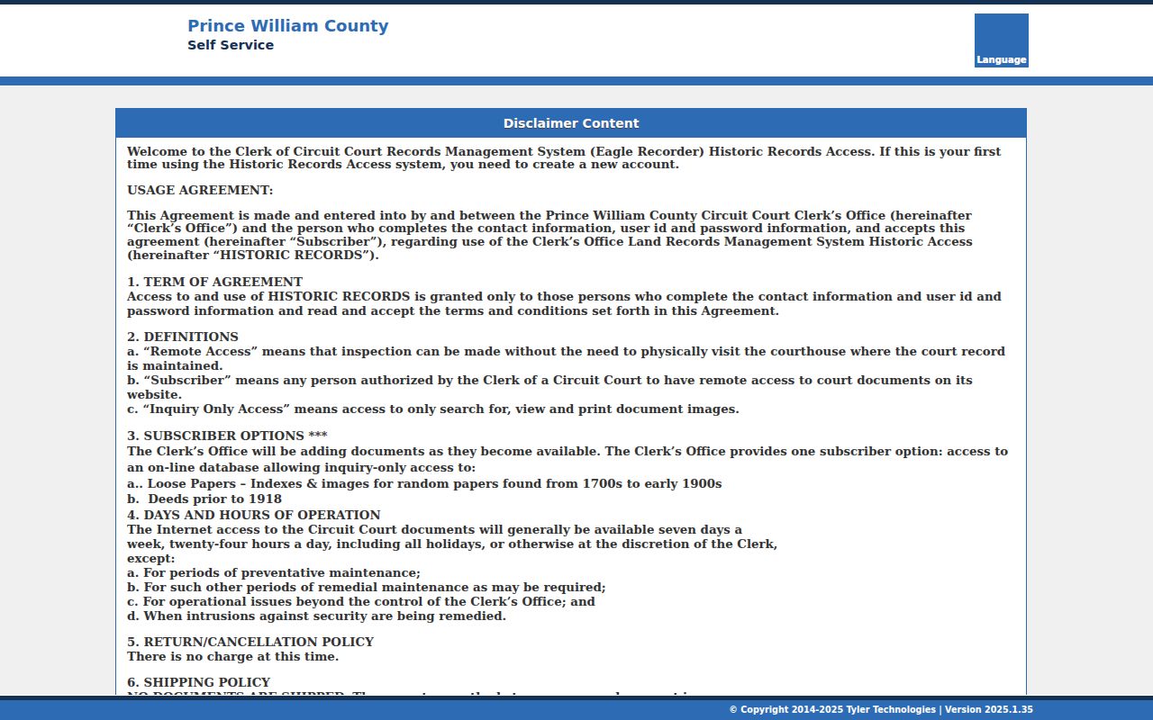
Online index access, image access, and older-record research are separate layers, so record which layer produced each document reference.
Tracing Linton Hall Previous Owners
The title trail begins with an assessed owner, then moves through the recorded deed chain. Use the Prince William assessment search to obtain the current parcel identity, GPIN, and legal description. Find the most recent recorded deed where that owner is the grantee, meaning the party who received the interest. The seller on that deed is the grantor. Search that seller as a grantee to find the earlier purchase, then repeat the same role reversal.
Use the legal description whenever an older instrument lacks the current address. A modern Linton Hall lot can be part of a larger historic tract, so a subdivision plat, book and page, parcel reference, or metes-and-bounds description may be the durable connection. The parcel search, recorded instrument, and historical source should agree on the property identity before a name is added to a past-address timeline.
- Search the current address, then save the GPIN, legal description, current site address, and the distinction between site and mailing address.
- Locate the latest recorded acquisition with the current owner as grantee and capture the recording date and document reference.
- Read the named grantor, then search that party as grantee for the preceding acquisition.
- Repeat backward, checking spelling variants and the deed’s legal description at every transfer.
- Use a plat when a lot, road, easement, or subdivision changed the parcel’s form or description.
- When the online era ends, carry the legal description, book and page, and road segment to the Clerk, microfilm, RELIC, or HOP.
- Grantor
- The party who transfers an interest in a recorded instrument.
- Grantee
- The party who receives that interest. The prior grantee often becomes the next grantor in a backward search.
- Chain of title
- The chronological set of recorded transfers tied to the same parcel or legal description.
- Legal description
- The lot, subdivision, or metes-and-bounds identity of land. It can survive an address change better than a street number.
Linton Hall Historic Deed Recovery
Prince William County’s historical record trail has a real break: many land records from before 1865 were lost. Surviving microfilm and partial series are valuable, but they do not create a perfect run. HOP launched in early 2023 with wills and list-of-heirs material, then added archived deeds reaching from pre-Revolutionary material into the early 1900s. The county’s October 30, 2023 story also described the recovered Stolen Deed Book, Liber A, and its digitization after years of volunteer work.
This is a useful correction to the idea that a web search contains every instrument. For older Linton Hall land, compare a HOP result with the original image, surviving book, microfilm, or Clerk reference when available. Search Prince William, Stafford parent-county references, Brentsville, Broad Run, Bristow, and Manassas-area descriptions beside the surname or place. The county’s changing geographic language can hide a relevant historic record from a modern place-name search.
Use the Circuit Clerk historical research portal for Linton Hall previous residents research beyond the ordinary online deed-image era.
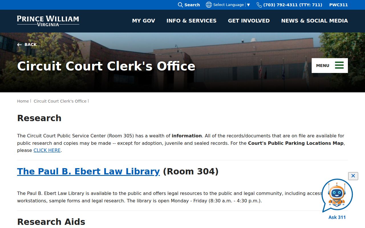
The historical research route is the appropriate fallback for early records, unanswered deed references, and questions about available microfilm or HOP coverage.
Linton Hall Address Continuity
Address history can fail even when the parcel history is sound. Long roads may be renumbered, renamed, realigned, or divided by postal conventions. County GTS maintains official addressing and the master street directory; its material lists historic address changes for 2005-15 and notification dates for 2016-25. Linton Hall Road itself illustrates the problem, because county street-directory editions put different address ranges in ZIP codes 20136 and 20155.
Bridge the old and new versions with the GPIN, legal description, plat, road segment, and neighboring parcel rather than relying on a street number alone. A 1937 aerial, a 1972 county street map, and current County Mapper imagery can show changes in roads, structures, and open land. Those visuals show geography, not who occupied the land. The nearby Manassas Sanborn maps from 1907 and 1912 are not Linton Hall coverage and should not be used as parcel maps for this community.
Note: A missing address can reflect a road or postal change, so preserve the old label and test it against parcel identifiers before excluding a record.
Linton Hall Past Household Evidence
Ownership is only one part of a previous-residents search. RELIC’s surviving city and telephone directory holdings can identify a subscriber or household clue at a stated time. A reverse or criss-cross volume begins with the house number and street, then points to a listed occupant or subscriber and an alphabetical entry. The collection itself is explained on the Linton Hall city directory page; use it here as one dated layer in an address trail rather than a complete list of every person who lived there.
Pair a directory year with the closest federal census year. RELIC lists federal schedules from 1790-1930, and later public releases follow the 72-year rule. Census geography may use a county district, post office, farm, township, or rural route instead of the present CDP. Match the household by name, approximate age, location, and surrounding land context. Do not assume that a modern Linton Hall label appears in an earlier schedule.
RELIC’s Local News Index starts in 1993 and includes some obituaries from 1970. Obituaries, cemetery files, probate and heirs records, funeral material, and newspapers can help close a historical trail or identify a relationship. They are supporting evidence, not a substitute for the deed or directory record that ties the person to the address.
Lawful use. Linton Hall past-address research is appropriate for family, estate, and place history. Never use historical or current record details to stalk, harass, or harm a living person.
Linton Hall Previous Residents Timeline
A simple timeline keeps land and household evidence from being mixed together. Start with the newest parcel record, step back through recorded transfers, and place each directory or census hit beside the nearest deed. Add a plat when the land divides, an aerial when the setting changes, and an obituary or probate item only when it supports a relationship or endpoint. This order makes contradictions visible instead of forcing records from different dates to agree.
- Current parcel and GPIN: establish the present land identity.
- Recorded deed and plat: move backward through each documented transfer or parcel change.
- Directory or telephone year: add a subscriber or household lead for that specific date.
- Federal census year: compare household composition and historical geography.
- News, cemetery, probate, map, or aerial item: use only as corroborating place or family context.
For early land, RELIC’s deed index reaches 1731-1827 and tax or rent rolls reach 1738-1784. These sources can identify county land context, but pre-1865 losses mean a gap should remain a gap. A cautious timeline labels the source and its date rather than claiming continuity where no surviving record has been found.
Linton Hall Property Alert Safeguard
Property Alerts is a useful current-record safeguard, not a past-residents database. The Circuit Court Clerk launched the free service on April 23, 2025 for Prince William County, Manassas, and Manassas Park. A person can create alerts by name or GPIN. An alert includes the document type, reference number, recording date and time, and a document link when a matching record is recorded.
The launch version’s Find a Document function reached only the prior three months. For older material, use a custom keyword alert and the land-record or historical-research channels instead. An alert does not validate a document, erase a public deed, or replace a careful review of the instrument. Keep the GPIN and legal description ready when comparing an alert with the parcel record.
Visit the Prince William Property Alerts system for the Linton Hall previous residents monitoring option.
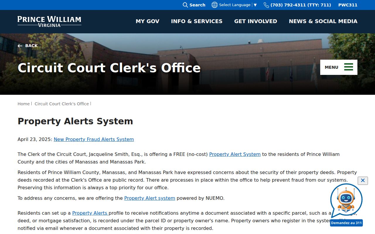
Property Alerts can flag a new recorded document, while the deed chain and historic collections remain necessary for earlier address history.
Linton Hall Previous Residents Limits
A parcel owner, recorded party, directory subscriber, applicant, or person named in a notice has a defined connection to a source. None of those labels proves who occupies an address now or proves every past household member. Permit records can date construction, grading, additions, inspections, or project activity, but may name a project contact rather than a property owner. Aerials identify landscape change, not people.
When the record trail stops, use the appropriate access channel: the Circuit Clerk for land records and research help, RELIC for microfilm and local history materials, Historic Prince William for cemetery and place context, and the Library of Virginia or National Archives for archival sources. Keep the question historical and personal, respect protected information, and let a documented gap remain visible.