
Linton Hall ZIP Codes in Context
The Census profile links three ZIP geographies to the Linton Hall CDP: 20109, 20136, and 20155. They are service areas, not a single municipal boundary. Linton Hall is an unincorporated Prince William County CDP, so a postal city printed on mail can differ from the community label used in a Census or county record. The exact address remains the deciding detail for delivery, while a GPIN and legal description identify the parcel behind it.
| ZIP | Areas Covered | Post Office | Notes |
|---|---|---|---|
| 20109 | Part of the Linton Hall CDP and a broader mailing area | Manassas | Postal and CDP boundaries do not match; check the exact address. |
| 20136 | Linton Hall CDP with Bristow and Gainesville-area addresses | Bristow | County street material places portions of Linton Hall Road here. |
| 20155 | Linton Hall CDP with Gainesville-area addresses | Gainesville | County street material also places portions of Linton Hall Road here. |
Nearby 20181 and 20187 appear on wider county mapping, but neither should be added to a Linton Hall ZIP code directory automatically. A nearby postal area may be relevant only after the particular street address is checked. The same caution applies to postal-city labels: Manassas, Bristow, and Gainesville can all be useful search terms without changing the CDP geography.
Linton Hall Postal and CDP Lines
A ZIP is a delivery geography. A CDP is a Census statistical geography. A parcel is a county land-record geography, and a precinct is an election geography. Those boundaries can cross one another, which is why a Linton Hall ZIP code cannot settle a property or resident question by itself. The county address system also maintains official numbers, road names, and changes outside the independent cities of Manassas and Manassas Park.
For an address change, road realignment, or older number, preserve both old and current labels. Prince William County’s GTS materials maintain the street directory, address validations, and notification records for approved changes. An older document can use a rural route, a farm name, or a postal city that does not appear on a current parcel card. The parcel’s GPIN and legal description make a steadier bridge than a postal label.
Confirm a Linton Hall Delivery ZIP
Use the USPS ZIP Code Lookup with the exact street number, street name, city, and state. The result supplies the delivery ZIP, city, and state for that address. It does not confirm who lives at the address or create a ZIP-wide resident roster. USPS controls delivery addressing, while county property systems identify the parcel and its recorded assessment fields.
The official USPS lookup is displayed on its source below.
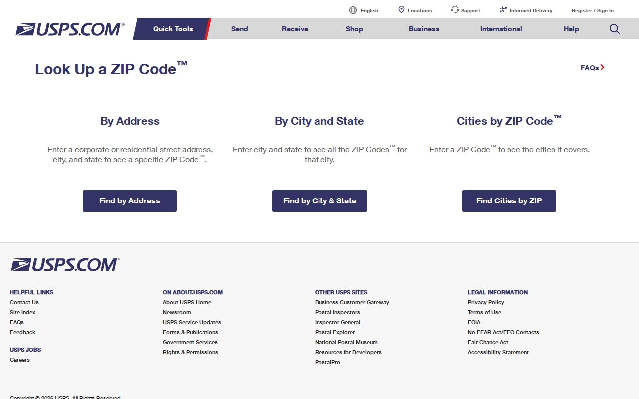
Save the ZIP result beside the searched address, then use the county’s property or map records only for the separate parcel question.
Note: Postal delivery information can change, so recheck the exact address rather than carrying a ZIP forward from an old directory or mailing label.
Linton Hall ZIP Code Parcel Limits
Neither the county assessor’s inspected address, GPIN, and sales forms nor County Mapper has a general ZIP search field. Their searches begin with an address, parcel number, street data, or map layer. The assessor card can show an assessed owner, mailing address, situs address, legal description, sales data, and GPIN. That is useful after a ZIP has been confirmed, but it is not a ZIP-wide owner list and the mailing address is not proof of occupancy.
County Mapper is the parcel bridge. A GPIN is the county’s ten-digit coordinate-grid parcel identifier, formatted xxxx-xx-xxxx. It links assessor, GIS, land-record, property-alert, and legal-description work. The viewer is informational rather than a legal survey, and a postal label may appear as an address attribute without being a countywide ZIP directory field.
When a ZIP narrows the area to one street, the address-by-address workflow belongs on the Linton Hall street directory. That process checks the street spelling, address range, parcel, and source date instead of assuming every record in the postal area belongs to the CDP.
Narrow a Linton Hall ZIP Code Search
Finding information within one postal area is a sequence of geographic checks, not a query that returns everyone in the ZIP. The county street directory and ZIP map can orient an address range. USPS then verifies delivery. From there, an address or GPIN opens the parcel systems. This order preserves the difference between a delivery area and a public record that is keyed to a specific property.
- Start with the exact street number and name, plus the city and state shown on the mailing address.
- Use USPS to verify the delivery ZIP before assigning the address to 20109, 20136, or 20155.
- Check the county street directory or 2024 ZIP map for orientation, then compare the address range.
- Open the Prince William assessment search or County Mapper with the verified address or GPIN.
- Record the postal label, situs, GPIN, and legal description separately before consulting deed or historical material.
A ZIP-only starting point needs a street or parcel as the next key. Without one, the public county property portals do not expose a lawful, general Linton Hall resident result set.
Linton Hall ZIP Code Search Fields
The inspected tools handle ZIP in sharply different ways. USPS returns delivery information for a supplied address. The assessor, County Mapper, and voter status portal require other identifiers. The only ZIP-capable people-category resource found in the research is a safety registry, and it must be kept in that limited role.
| Tool | ZIP field? | What it returns |
|---|---|---|
| USPS ZIP Lookup | Yes, as address-result output | Delivery ZIP, city, and state for a supplied street address. |
| Assessor address, GPIN, and sales search | No ZIP field located | Address, GPIN, or sales results for individual parcels. |
| County Mapper | No ZIP field located | Parcel, address, layer, and map results. |
| Virginia Citizen Portal | No ZIP field | Self-status after name, date of birth, last four digits, locality, and certification. |
| Virginia registry | Yes | Registry results by ZIP, contiguous ZIP, or radius, subject to its public-safety scope. |
Voter status requires the individual’s name, date of birth, last four Social Security number digits, locality, and certification. It is a self-check, not a ZIP directory. Virginia voter lists are restricted by law and cannot be republished as a searchable public roster.
Linton Hall ZIP Code Safety Limit
The Virginia State Police Sex Offender Registry accepts ZIP, contiguous-ZIP, and radius searches, alongside name, registration number, street, city or county, and neighborhood-map modes. It is the only public ZIP or radius people-category tool identified for this research. Its results are a public-safety registry, never a comprehensive resident roll or a way to infer who lives throughout a postal area.
The Virginia registry’s ZIP and radius options are displayed on the official source below.
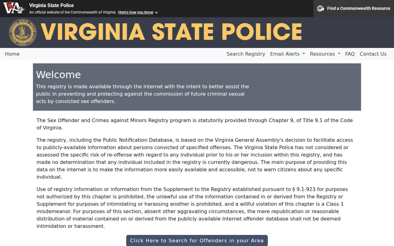
Use registry information only for lawful public-safety purposes and follow the registry’s own instructions rather than treating a ZIP result as a general Linton Hall directory.
Linton Hall Road ZIP Code Split
Linton Hall Road demonstrates why a street name is not a ZIP filter. County street-directory ranges place portions of the road in 20136 and 20155. The road does not need to change its name when it crosses a postal boundary, precinct, subdivision, or district layer. Verify the particular number, then preserve the road segment and parcel identifiers with the delivery ZIP.
The county also maintains address changes for renaming, realignment, duplicate or out-of-sequence numbers, and inaccessible designated streets. A historical address search may therefore require an old road label and the current one. For parcel history, GPIN, plat, legal description, book and page, or tract name is more reliable than a ZIP copied from a later mailing address.
Search Older Linton Hall Labels
The 2008 Prince William Citizen Satisfaction Survey grouped Gainesville-Linton Hall under 20136 and 20155. That is useful evidence of historical administrative geography, not current USPS boundary proof. Older directories and telephone books can file a 20136 address under Bristow or Gainesville, a 20155 address under Gainesville, and a 20109 address under Manassas. Earlier material may use a rural route, farm name, or road instead of any ZIP.
RELIC’s reverse directories and telephone books can help with older postal labels, but their coverage and indexing vary. A directory absence may reflect a broader Manassas-area volume, the development era, or a subscriber practice, not an absence from the place.
Linton Hall ZIP Code Boundaries
A ZIP code tells the Postal Service where mail is delivered. It does not define Linton Hall’s CDP edge, establish a parcel boundary, or reveal a household. Use a delivery result with the county map and parcel identifiers, then describe the resulting record precisely: a postal address, an assessed-owner entry, a deed party, or a historic directory reference. Each has a different date and meaning.
- ZIP versus ZIP+4
- A five-digit ZIP identifies a delivery area; ZIP+4 adds a narrower delivery segment or group of addresses.
- PO-box ZIP
- A ZIP assigned for post-office boxes, which can differ from the delivery ZIP for a street address.
- Unique ZIP
- A ZIP assigned to one organization or high-volume recipient; none is established here as a Linton Hall CDP category.
- Carrier route
- A mail-delivery sequence used by USPS, not a municipal, Census, or parcel boundary.
Note: Never add nearby postal areas to a Linton Hall ZIP code directory without verifying the exact delivery address and its relationship to the CDP or parcel.